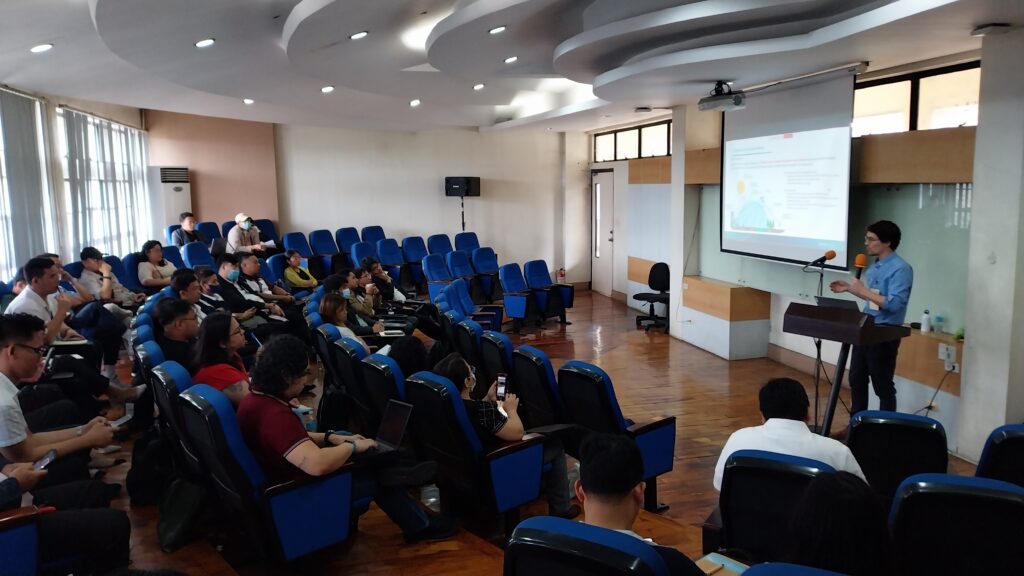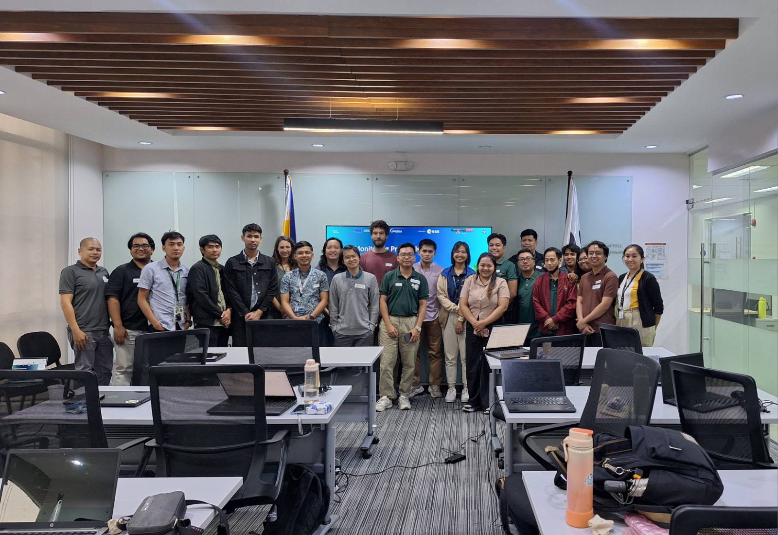





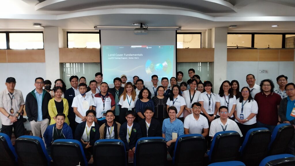
On 10 February 2025, the CopPhil Centre hosted its first hybrid training course, bringing together over 40 in-person participants and over 140 online participants to learn about the CopPhil pilot service dedicated to land cover monitoring. This service will support Filipino authorities, farmers, and environmental managers in promoting sustainable land use, monitoring key habitats, and preserving biodiversity hotpots.
This training session was the first in a three-part series on land cover monitoring, focussing on foundational concepts, techniques, and data used for these applications with Copernicus satellite data. Participants from government institutions, academia, and other sectors gained insights into how Copernicus Earth Observation data and technology supports land use planning, environmental conservation, and sustainable development in the country.
Following an overview on land cover monitoring, the course then introduced participants to tools for automating and improving mapping processes. It further explored key concepts in remote sensing and data processing for these uses. These insights will prepare participants for the next courses in the Land Cover series, which will focus on practical applications of Copernicus data for the Philippines.
In addition to this training series, CopPhil will also host training courses on its Ground Motion Monitoring and Coastal Marine (Benthic) Habitat Monitoring pilot services. Find more information about the pilot services here.
As a programme of the EU Global Gateway strategy, CopPhil, through its pilot services, is positioned to support the Philippines in increasing its resilience, fostering inter-agency collaboration, and contributing to a more sustainable future.
For updates on CopPhil’s activities, follow us on LinkedIn and Facebook.
Background Information
As a flagship and unique programme of the EU’s Global Gateway strategy, CopPhil is designed to harness digital resources and space technology for sustainable development and to support innovations in research and business in close cooperation with government partners.
CopPhil is managed by the European Union Delegation to the Philippines. It is implemented by the European Space Agency (ESA) in partnership with the Philippine Space Agency (PhilSA) and the Philippine Department of Science and Technology (DOST).