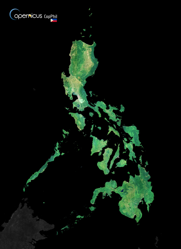
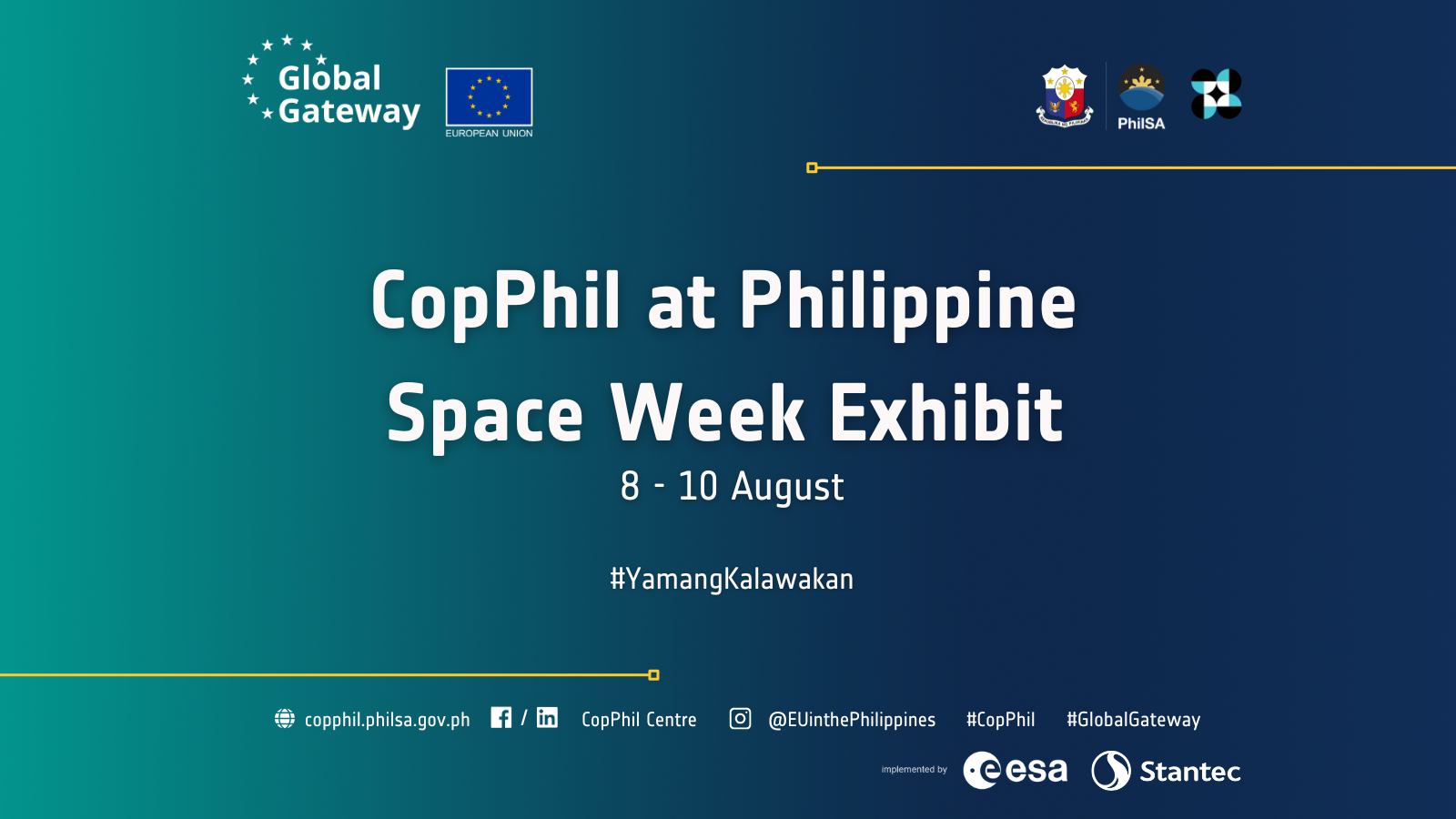
CopPhil Showcases EU-Philippines Earth Observation Collaboration at Philippine Space Week
CopPhil will be participating in the Philippine Space Week Exhibit. The event will take place from 8 to 10 August at Gateway Mall in Araneta City, Cubao.
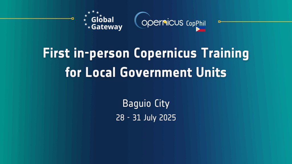
First in-person training for Local Government Units (LGUs) of Copernicus under the Technical Assistance to the CopPhil programme
From 28 to 31 July 2025, Local Government Units (LGUs) and other sub-national stakeholders in the Cordillera Administrative Region (CAR) will gather in Baguio City for a 4-day hands-on training on Earth Observation (EO), GIS, and the use of Copernicus data for disaster risk reduction, climate adaptation, and natural resource management.
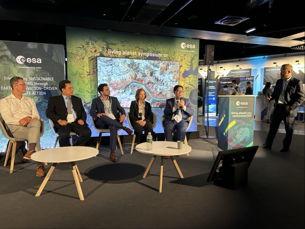
Cooperation, Innovation, and Impact: CopPhil showcased at ESA’s Living Planet Symposium and at the 68th session of UN COPUOS
From 23 to 27 June 2025, CopPhil representatives joined the European Space Agency’s (ESA) Living Planet Symposium (LPS) 2025, one of the world’s largest Earth Observation (EO) conferences.

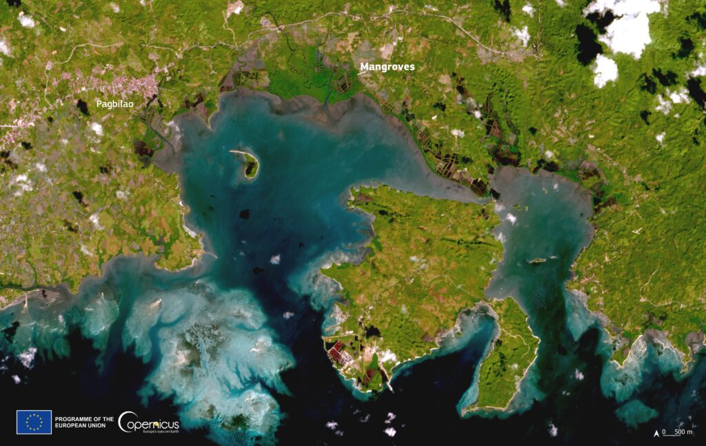
Satellite Data-based Forest Mapping: CopPhil Hosts Practical Training in the Philippines
On 29 May and 19 June 2025, we hosted a series of practical training sessions dedicated to our Earth Observation-based pilot service on forest mapping.