
Underwater Insights: Copernicus for Benthic (Coastal Marine) Habitat Monitoring in the Philippines

This article explores how Copernicus data and the CopPhil Benthic Habitat Monitoring Pilot Service can be leveraged to monitor coastal habitats in the Philippines, thereby supporting the country in protecting these key areas.
Introducing the CopPhil Pilot Services: Improving Hazard and Environmental Monitoring in the Philippines
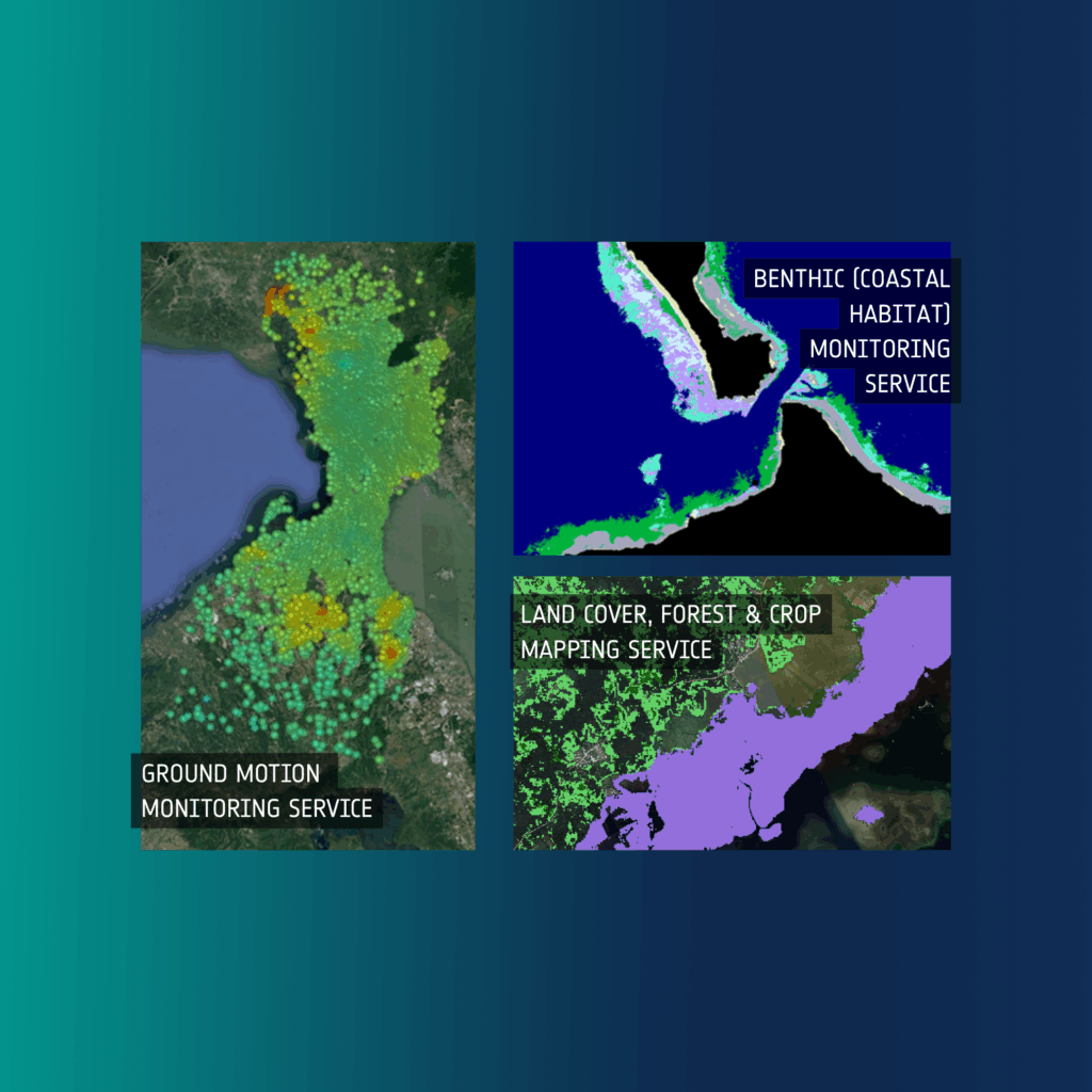
As part of its mission to bring Copernicus data closer to users in the Philippines, the CopPhil Centre is co-developing Copernicus Earth Observation-based pilot services with Philippine stakeholders in three thematic areas.
Growth, Collaboration, and Engagement: CopPhil’s Achievements in 2024

2024 has been a year of growth, collaboration, and notable accomplishments for CopPhil. Through partnership building with key stakeholders and the progress in the development of key components of the initiative, we have achieved significant breakthroughs in our mission to promote the uptake of Copernicus Earth Observation data among users in the Philippines.