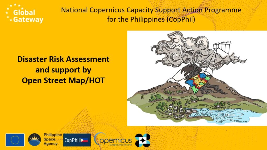
On 4 December 2024, the Technical Assistance team of the EU Copernicus programme in the Philippines participated in the 24-hour “telemapathon” organised by the Humanitarian OpenStreetMap Team (HOT) under the theme Map, Give, Impact. With over 70 speakers and 1,500 participants from around the world, this online event highlighted the important role of Earth observation and mapping for disaster risk reduction and management.
OpenStreetMap (OSM) is a global initiative that provides free geographic data, including street maps, maintained by volunteers. As a critical tool in humanitarian response, OSM data is accessible in GIS-ready formats, including for the Philippines, supporting disaster preparedness and response efforts. The Humanitarian OpenStreetMap Team focuses on using mapping for disaster risk reduction, particularly in emergency situations.
CopPhil, an EU Global Gateway strategy flagship programme, offers accurate datasets that Filipino authorities and local stakeholders use for analysing environmental trends or increasing readiness to provide support to citizens during extreme weather phenomena. Environmental information can also lead to innovative solutions that provide new ways to address challenges in the Philippines. The telemapathon is an important avenue for making Copernicus data more accessible in the context of disaster risk management, opening opportunities for integrating Copernicus data with OSM tools to enhance disaster risk management capabilities.
During the event, the Technical Assistance team discussed the role of OSM in multi-hazard risk assessments, sharing examples from the Philippines. The team congratulated the highly active role of the Philippine Humanitarian OpenStreetMap community in using and developing mapping technologies. While OSM data has been a critical resource for understanding vulnerabilities in disaster-prone areas, there are still challenges related to data updates and accuracy. The CopPhil services, offering high-resolution and near-real-time data, can contribute to bridging the gap between access to accurate data and timely disaster response. Underscoring the potential of CopPhil data in complementing the existing OSM tools in disaster risk reduction and resilience-building, the team, represented by Olaf Neusser, explained: “With my talk at the event, we are likely reaching a community of dedicated Filipinos who are very open and interested in Copernicus but may not be fully aware of the data and services it offers.”
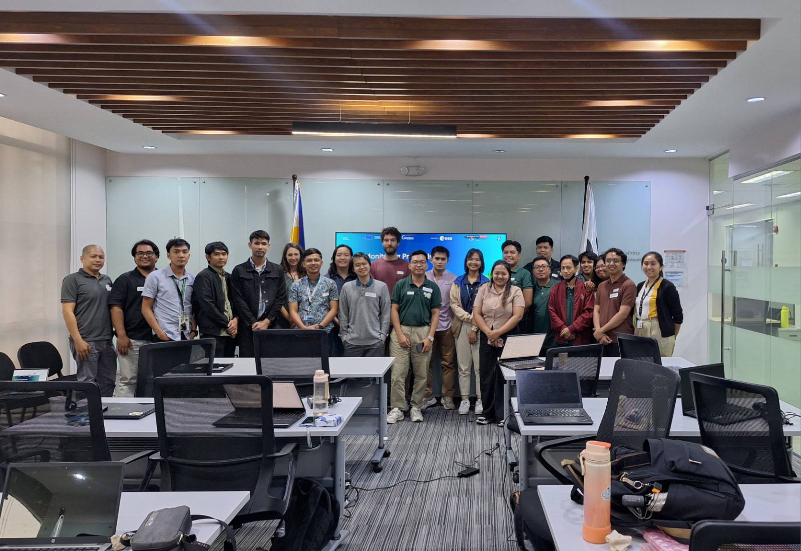
The CopPhil team was happy to be part of the insightful conversations during the telemapathon. We are ready to support the humanitarian community to build on this momentum and contribute to the integration of mapping and risk reduction practices for disaster resilience.

